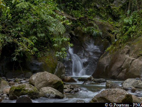
Bassin Bleu
4 points of interest
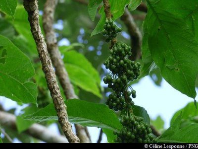
baies du Suriau - Céline Lesponne / PNG  Flora
FloraAcnistus arborescens
Acnistus arborescens is a member of the Solanaceae family. It is recognisable for its large clusters of white flowers which turn into clusters of red fruits.
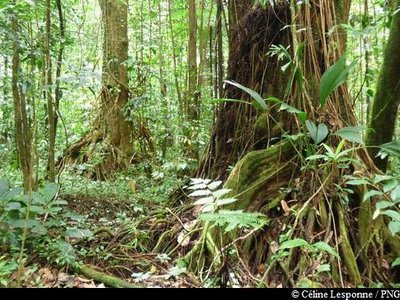
Palétuvier Jaune (gauche) et Bois Rouge Carapate (droite) - Céline Lesponne / PNG  Flora
FloraTwo large trees
On the way to le Bassin Bleu, there are two very striking trees on the right-hand side of the trail : an Amanoa caribeae, with its impressive buttresses, and a Symphonia globulifera, which is recognisable for its stilt roots. This tree produces seeds that bear a resemblance to nutmeg. They also exude a fluorescent yellow latex.
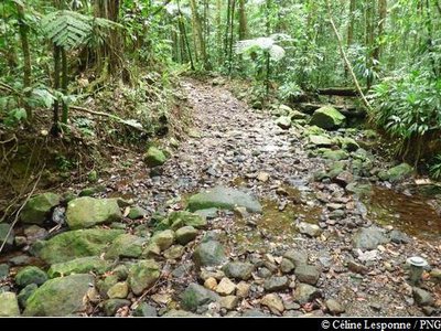
La Ravine Bois Blanc - Céline Lesponne / PNG  River and waterfall
The Bois Blanc ravine
Crossing the Bois Blanc ravine.
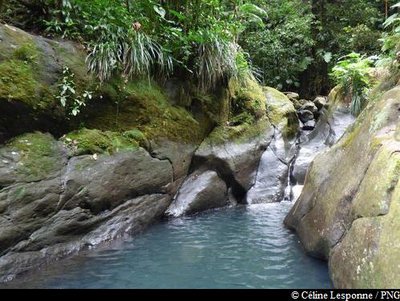
le Bassin Bleu et sa cascade (période du Carême) - Céline Lesponne / PNG  River and waterfall
Le Bassin Bleu
Le Bassin Bleu and its beautiful waterfall, flowing from a slide carved into the rock. The site was formerly a catchment site for drinking water.
Description
There is an information board at the start showing you a map of all the major places on the hike. Keep going on the small track which heads down. Keep going on the path on the side of the field and then continue through the forest. Half way through the trail, cross a small ravine. Keep going on the wide path. You will then be quite close to the end of the trail, where you can discover the site of the Bassin Bleu and its waterfall.
After taking some time to enjoy the site, head back again. Follow the same path on your return until you reach the parking area.
- Departure : parking at the start of the Bassin Bleu trail
- Arrival : parking at the start of the Bassin Bleu trail
- Towns crossed : Gourbeyre and Saint-Claude
Altimetric profile
Recommandations
As Guadeloupe is prone to natural risks, extra care should be taken in this natural environment. For the benefit of all hikers, responsible behaviour is very important.
Please note: the parking and swimming areas are not supervised.
Information desks
rond point "Dos d'Ane", Valkanaërs, 97113 Gourbeyre
Access and parking
GPS coordinates of the start point : Lat : 16,01124 N - Long : 61,67126 W.
In the village of Gourbeyre, go up towards "Palmiste (Route RD10). One kilometre after the water tower (right-hand side of the road), you reach a small crossroads. Turn left towards "Moscou" and the Bassin Bleu. The parking area at the start of the trail is 800 metres further on.
Parking :
Source
Report a problem or an error
If you have found an error on this page or if you have noticed any problems during your hike, please report them to us here:

