Sainte-Anne coast (Bois Jolan)
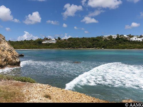
Sainte-Anne Coastal trail
Sainte-Anne coast (Bois Jolan)
Easy
3h
10,9km
+51m
-51m
Return trip
PR (short hike network)
Embed this item to access it offline
A short trail for all the family including the mangrove forest and beach. You can enjoy the Bois Jolan site to the full with a swim and some wonderful views.
9 points of interest
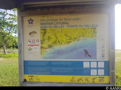
AAMG  Information board
Sign
Start panel, description of the trail.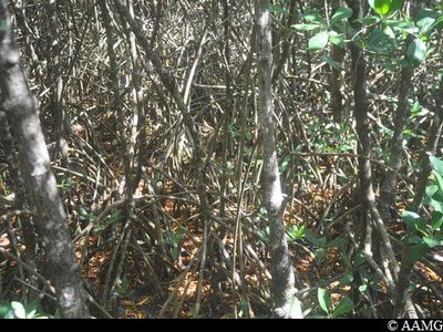
AAMG  Flora
FloraRed Mangrove
The mangrove can be easily recognised with its aerial roots.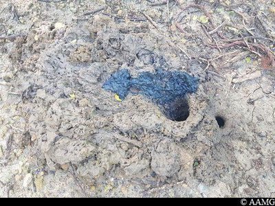
terrier de crabe - AAMG  Fauna
FaunaCrab hole
A crab is busy underneath. The fresh mud shows that it is cleaning or expanding its home.
The crab knows you are there and won't come out any time soon, but if you pay attention you should see some crabs on the way.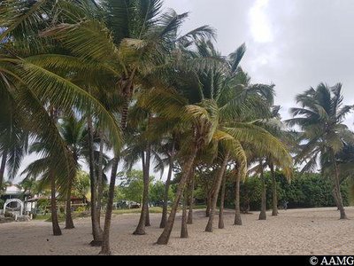
AAMG  Flora
FloraCoconut tree
The Coconut tree has a wide range of uses. It is used for its fruit, both the flesh and the juice. The leaves are also used in arts and crafts or to make cabin roofs. The trunk is used to make furniture.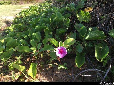
AAMG  Flora
FloraBayhops
This creeping vine plays an important role in stabilising the sand and, consequently, the beach.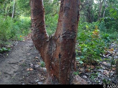
AAMG  Flora
FloraGumbo-Limbo
The tree is also known as "bois barrière" ("fence wood") because it was once used to separate owners' land.
It has medicinal properties.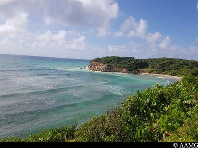
AAMG  Viewpoint
view over Gros Sable
Relaxation and a change of scene with some great views out to sea.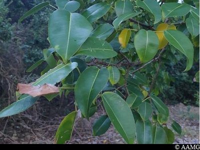
AAMG  Flora
FloraManchineel tree
Be careful, this is poisonous. Don't touch the tree, especially if it is raining (risk of burns).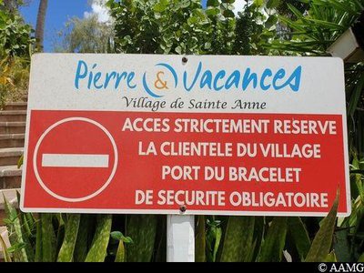
AAMG  Information board
Entrance panel (private property)
It is important to respect this area because it is private property. But visitors are authorised to pass through.
Description
Park on the beach, which is used as a car park by kite surfers.
Set off to the left, following the yellow markings.
Go past the river mouth and head for the vegetation to see the trail. Go straight on as far as the bridge (be careful, it can be below water level at high tide, and the second bridge calls for some dexterity)
Pass by the meadows as far as Bois Jolan beach, walk alongside the beach following the yellow markings, take the wooden steps leading to Gros Sable beach.
Go past the river mouth. Continue the hike by setting off to the right. Pass by the meadow and go as far as the Pierre et Vacances hotel complex; walk alongside the beach without using the private facilities. Take the steps behind the bar at the end of the beach, turn right and go as far as the undergrowth. Follow the trail to La Pointe du Helleux.
Retrace your steps for the return.
- Departure : Anse Belley, Saint-Anne.
- Arrival : Anse Belley, Saint-Anne.
- Towns crossed : Sainte-Anne
Altimetric profile
Recommandations
Park without obstructing other visitors.
Take some water with you.
Don't touch any unfamiliar plants.
Please note, the bridge is sometimes underwater during high tides and the second one calls for some dexterity.
In this natural setting, you should be particularly careful and alert, since Guadeloupe is subject to natural risks. It is vital to act in a responsible way, so that everyone can enjoy the hike!
Please note: unsupervised car parks and swimming.
Access and parking
GPS starting point: Lat: 16,23242° N - Long: 16,23242° N.
---
If you arrive from Pointe à Pitre:
Take the N4 road, go past the centre of Saint-Anne. 1 km after the police station, turn right to get to the kite surfing spot
---
If you arrive from Pointe à Pitre:
Take the N4 road, go past the centre of Saint-Anne. 1 km after the police station, turn right to get to the kite surfing spot
Parking :
Kite surfing spot car park, Anse du Belley
Source
Rando Guadeloupehttps://www.randoguadeloupe.gp/
Report a problem or an error
If you have found an error on this page or if you have noticed any problems during your hike, please report them to us here:
